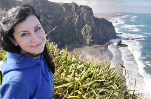
Arthur’s Pass National Park: The Most Beautiful Route in New Zealand?
Arthur’s Pass National Park – or more precisely, the Great Alpine Highway that runs through it, is often considered the most beautiful road in New Zealand.
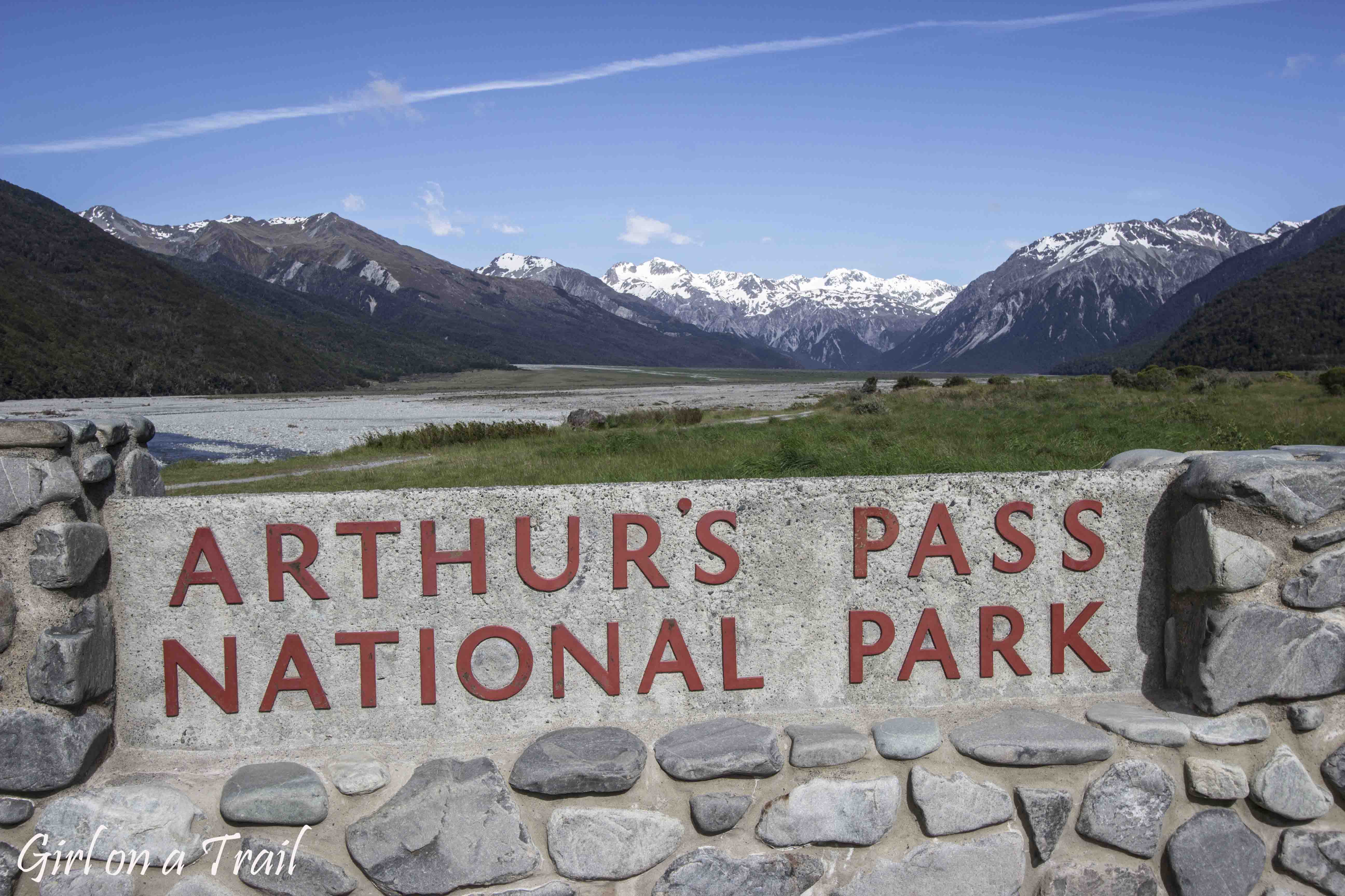
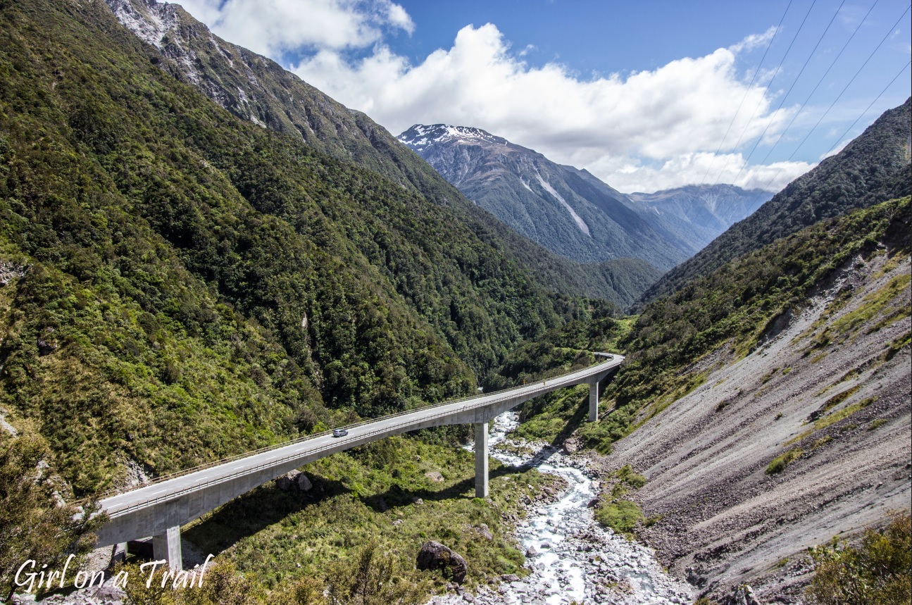
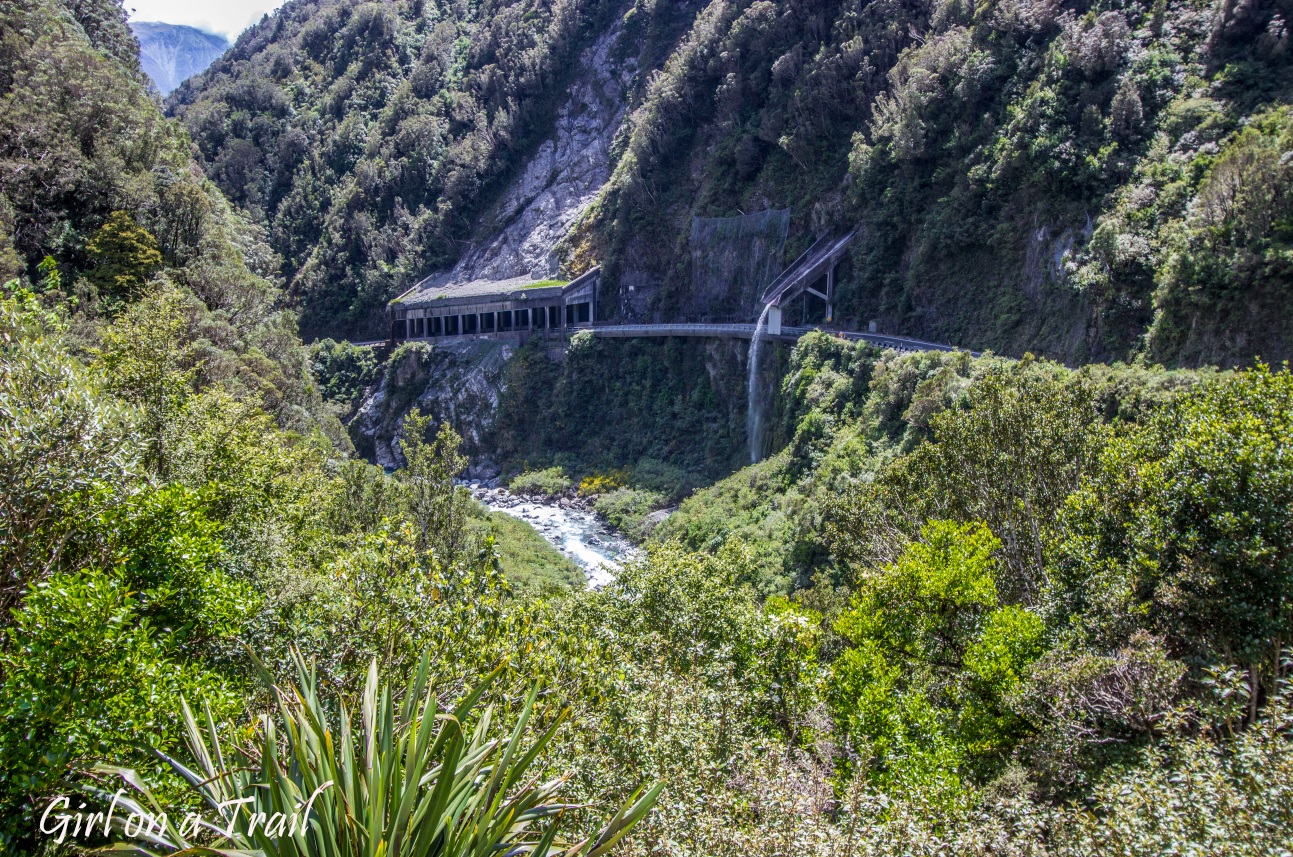
It’s the oldest national park on the South Island (and the third oldest in the entire country), lying across a key mountain pass that links the eastern and western coast. Yet, driving along the Great Alpine Highway is far from an ordinary experience. The road through Arthur’s Pass is a true feat of engineering. Viaducts, bridges, rock shelters and diverted waterfalls, all designed to make it possible to cross from one side of the island to the other.
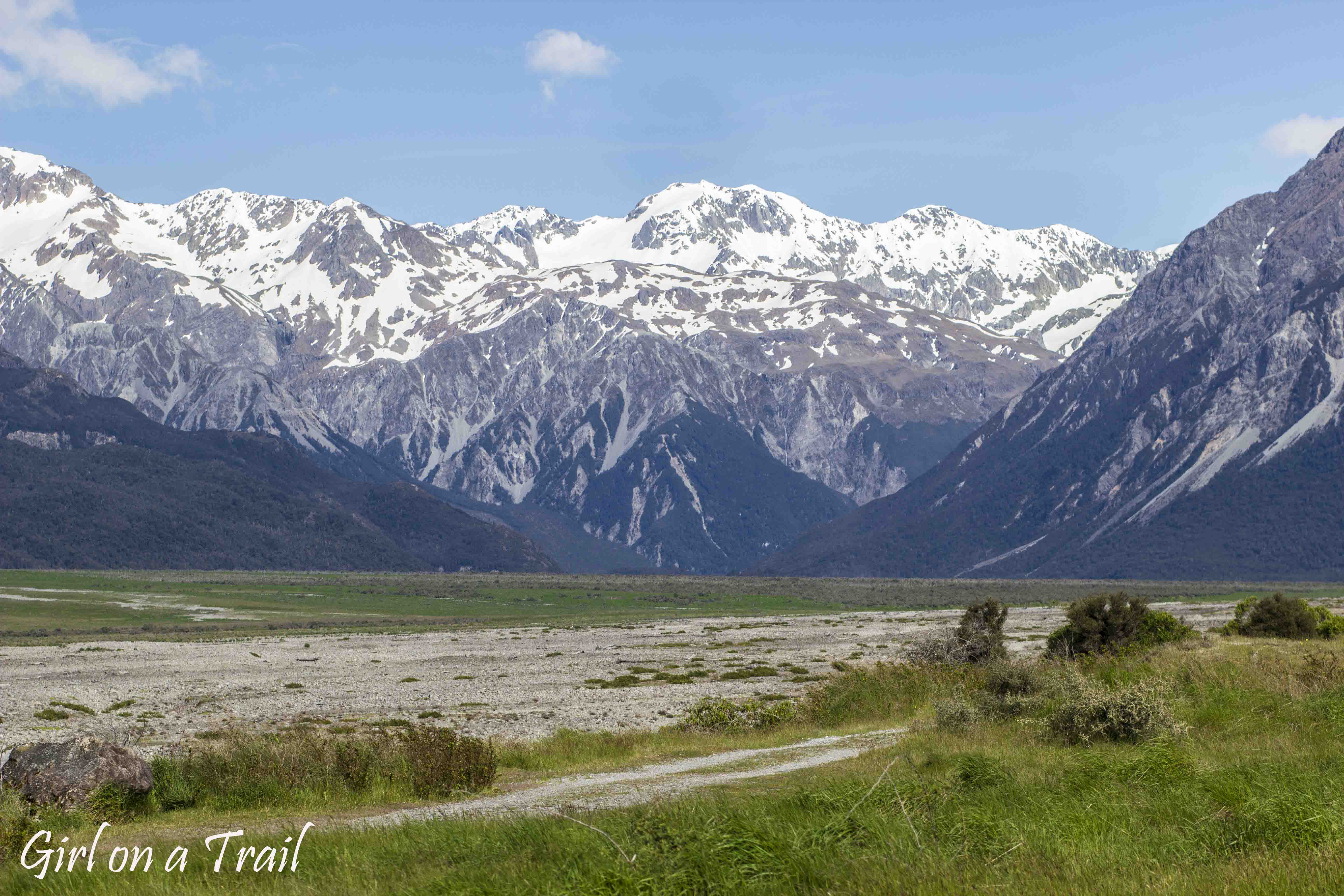
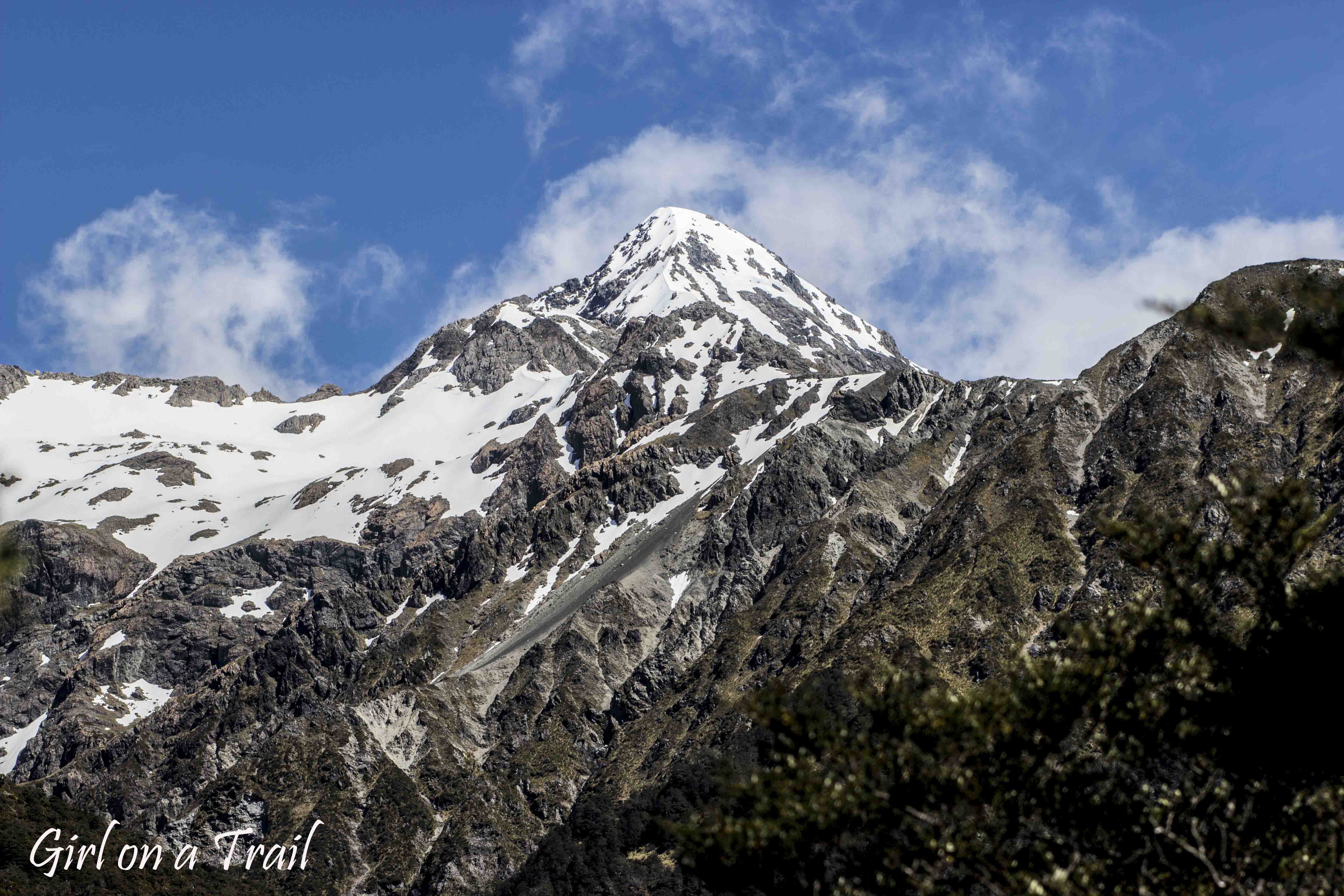
The pass itself rises more than 900 metres above sea level, making it the highest highway crossing in the Southern Alps. The surrounding mountains range between 1,600 and 2,000 metres, with several peaks surpassing the 2,000‑metre mark. The tallest of them, Mount Murchison, reaches 2,400 metres. The Great Alpine Highway is a real mountain adventure, with scenery that grows more spectacular at every bend. Snow‑capped peaks, glaciers and rock-strewn valleys form the typical landscape here. Along the way, there are countless lookouts, walking and hiking trails to explore.
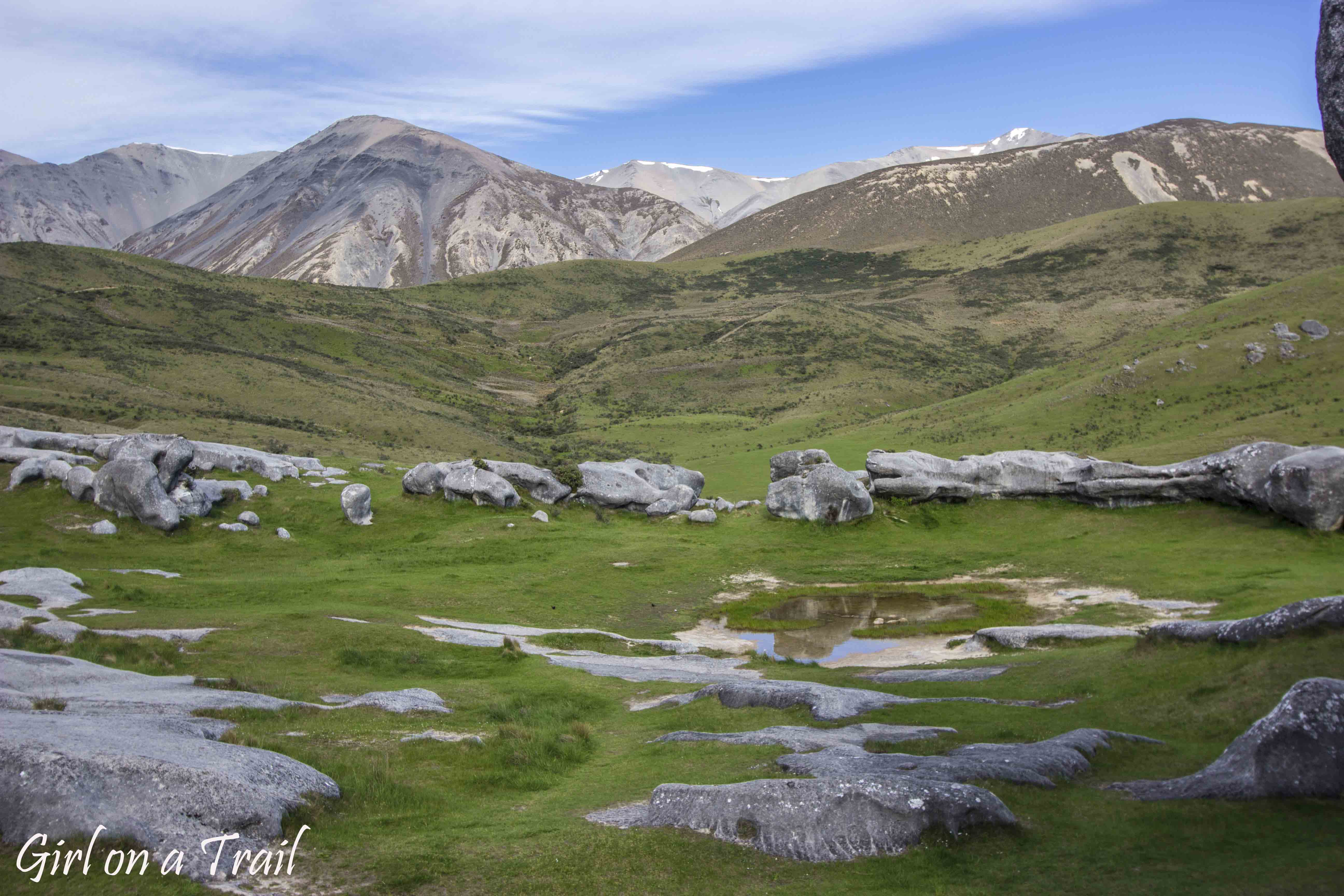
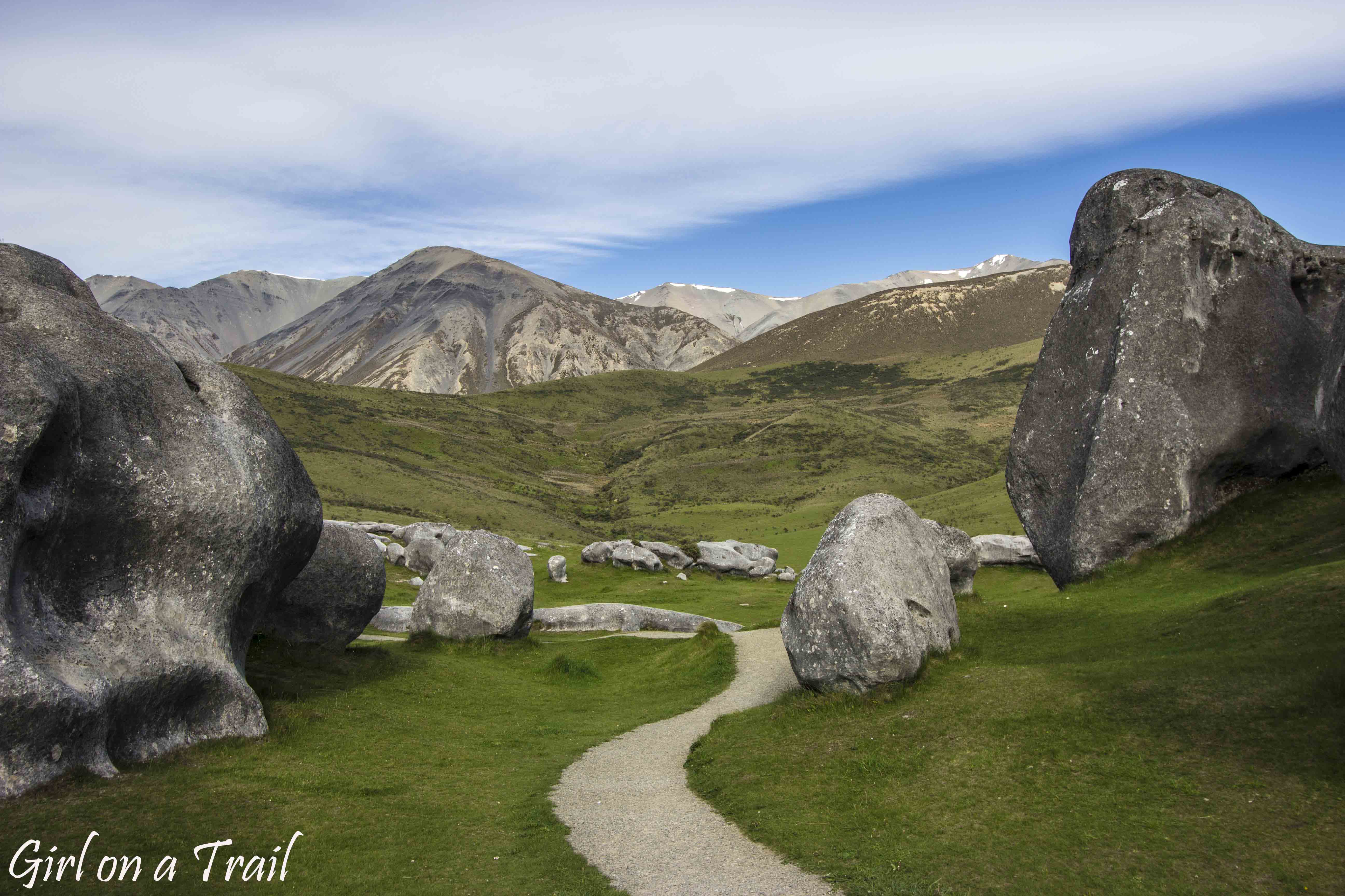
The first stop, coming from Christchurch, is Castle Hill, a fascinating area of limestone formations that featured as a filming location for The Lord of the Rings and The Chronicles of Narnia.
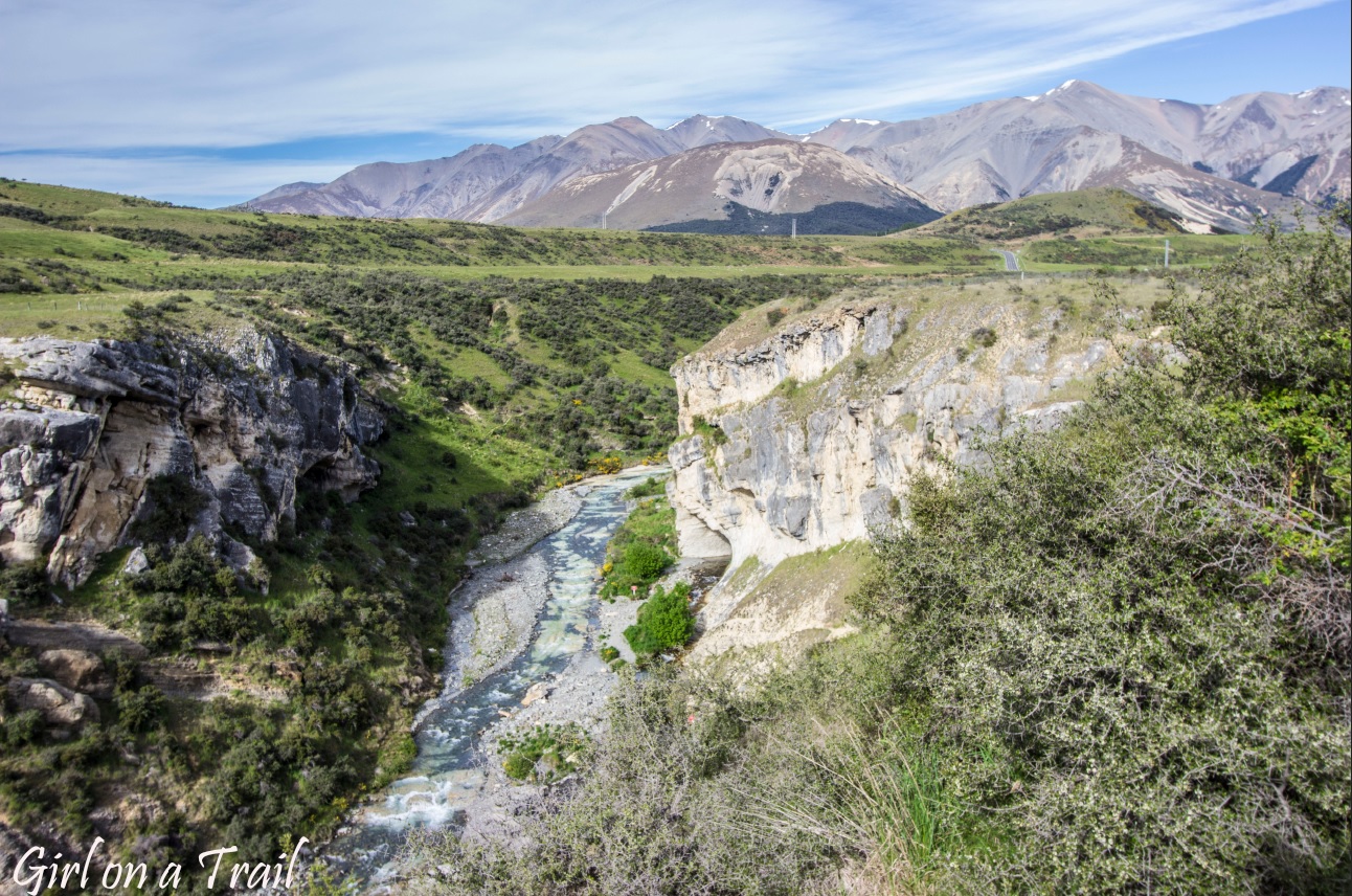
Nearby lies Cave Stream, a 600‑metre‑long tunnel carved out by the river running alongside it. Sounds adventurous? In theory, yes but this time I decided to skip it due to the risk of flash floods and deep water. The place has, sadly, claimed a few lives, and should only be explored with the right gear: wetsuit, helmet and torches. I only had the torch, was travelling solo, and my swimming style could best be described as “bottom level”. So I gave it a miss. Luckily, the views all around more than made up for it.
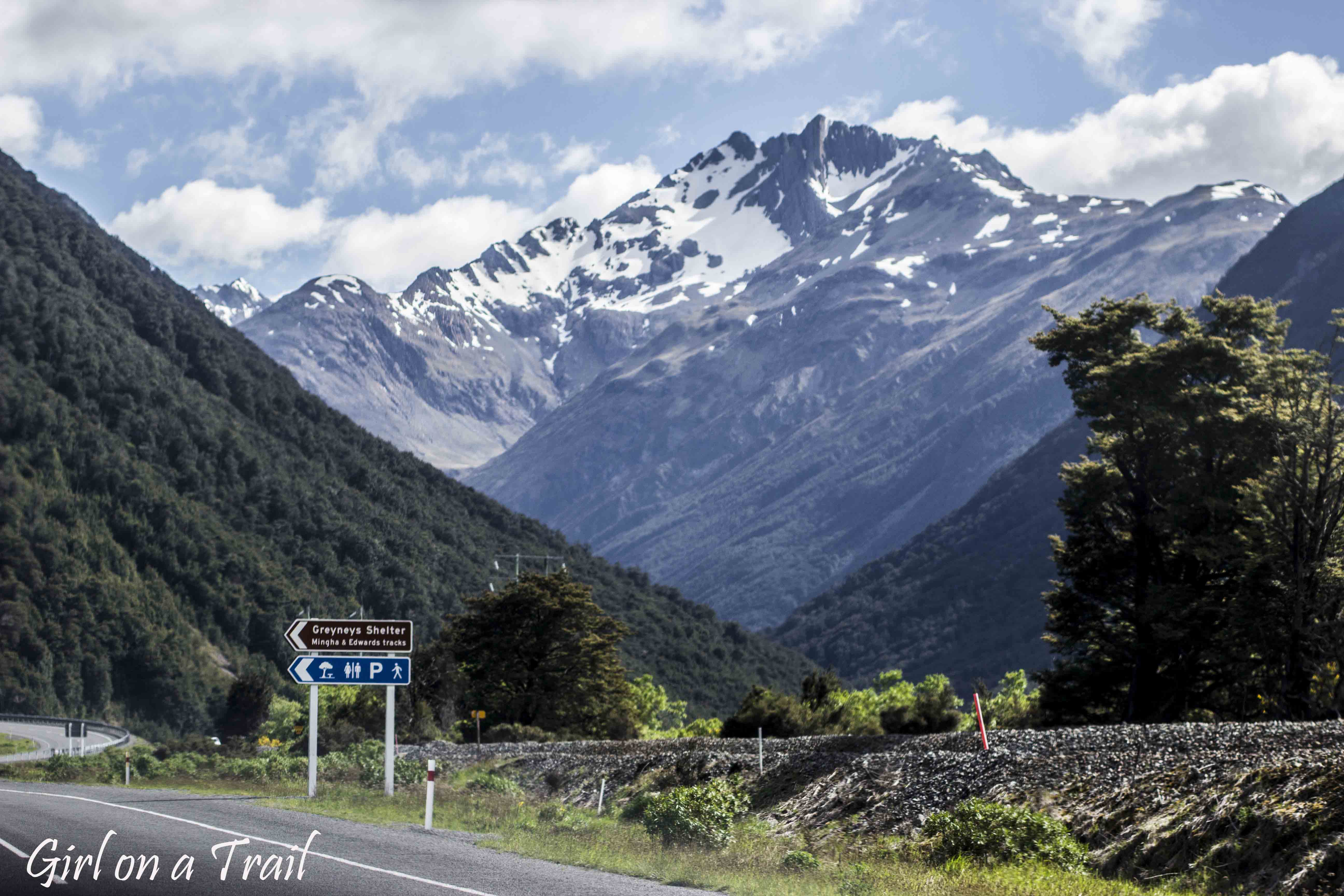
Driving on, the mountains seemed to grow taller with each kilometre, the air cooler and fresher. One of the most striking viewpoints was Arthur’s Pass Lookout, just beyond the bridge over the Waimakariri River, the view of snowy peaks was simply breathtaking.
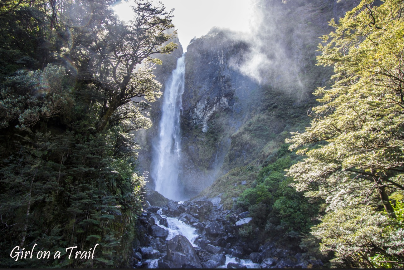
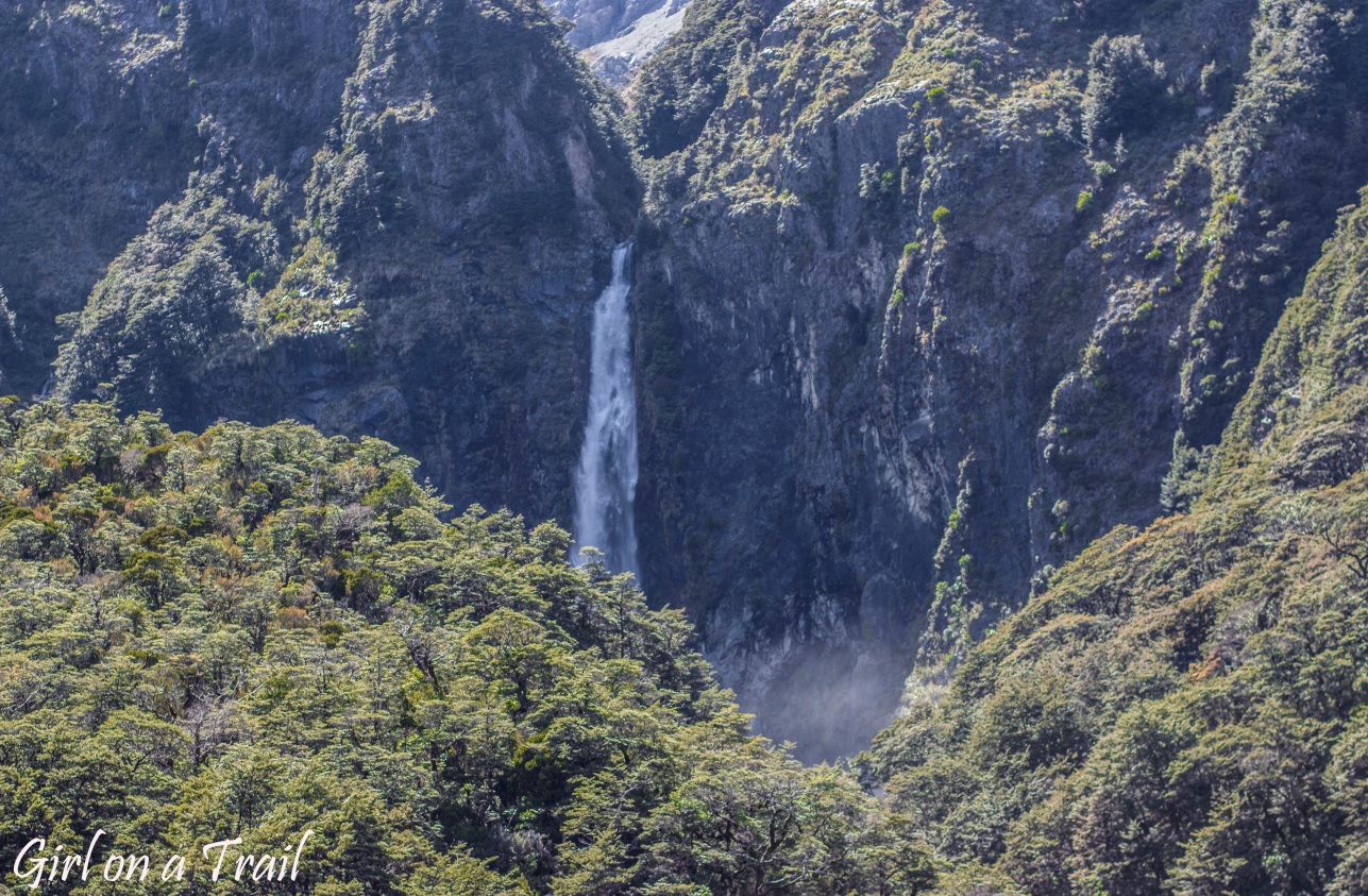
A bit further on, there are plenty of walking routes and short trails. One of the most popular is the Devil’s Punchbowl, a 131‑metre waterfall. The track is just two kilometres long, making it ideal for those more into sightseeing than breaking a sweat. Along the way, you pass through lush forest and over small bridges before reaching a viewing platform that feels like the perfect reward.
Another trail worth mentioning is the climb to Avalanche Peak (1,833 metres), which I had planned to attempt. However, a local at the visitor centre convinced me otherwise. Despite the clear sky, snow and strong winds on the ridge made conditions treacherous. Instead of a panoramic view, I might have caught “the flight of my life.” Much to my disappointment, I chose once again to exercise common sense and stay at a safer altitude.
Luckily, the adventures didn’t end there. Before leaving the mountains behind, I had the chance to drive across the Otira Viaduct to the aptly named Death’s Corner. The name may sound like something from a B‑movie horror, but there’s logic behind it. The Alpine Fault runs right through the park, and the old, winding road was often destroyed by landslides. In short, you once drove here at your own risk.
Arthur’s Pass perfectly captures what New Zealand really is beyond the scenes – rugged, mountainous, sometimes unforgiving, and utterly indifferent to your plans. You might climb something, skip something, or change your route altogether and that’s all perfectly fine. Because even if you don’t reach the summit or stick to plan A, just being here is an incredible experience.
Practical Information
Arthur’s Pass National Park lies along the Great Alpine Highway (SH73), connecting Christchurch with the West Coast. The drive from Christchurch takes around 2.5–3 hours, and from Greymouth about 1–1.5 hours. Although the pass itself is only 45 kilometres long, numerous scenic stops easily stretch the journey. It’s the highest mountain pass in the Southern Alps (over 900 metres above sea level), so the weather can change suddenly. In winter, expect snow, ice and occasional chain requirements.
An alternative to driving is the TranzAlpine train, considered one of the world’s most scenic railway journeys. It runs between Christchurch and Greymouth, crossing the Southern Alps and passing through Arthur’s Pass, including the impressive 8.5‑kilometre Otira Tunnel. The full journey takes about 4.5 hours each way, offering panoramic carriages and landscapes that are even more unforgettable when enjoyed from the comfort of your seat.


You May Also Like
Hawaiian cuisine part I

Na Pali part I – Hawaiian cliffs, doplhins and barking sands