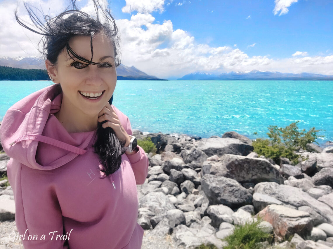
Mount Cook, Clay Cliffs – behind a closed gate
That day I was excited like a kid before a school trip. I had a few short walks planned in Aoraki / Mount Cook National Park. The weather in the morning was perfect: sunshine, clear sky, and me—naively convinced it would stay that way.
My first stop was the Clay Cliffs, a place that’s completely unassuming and very cleverly hidden away from the main road. To get there, you have to turn off State Highway 8 onto a gravel track that absolutely does not look like an access road to a tourist attraction. Just after the turn, you reach a gate that feels very much like the boundary of private property. There’s no information about access or parking whatsoever, which only reinforces that impression. This is the exact moment when many people give up. Before I got there, I’d already seen several cars simply turn around.
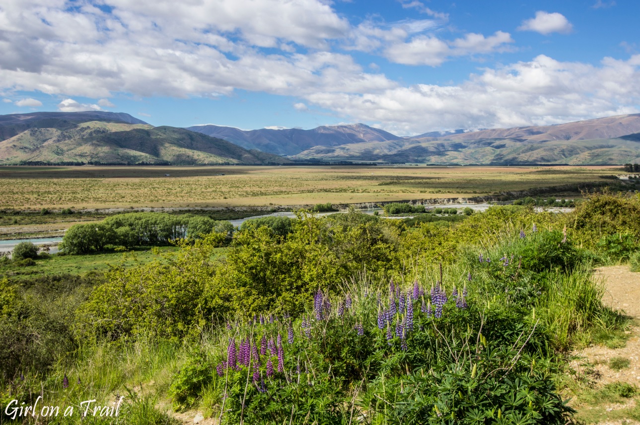
A quick look at the map with the satellite layer left no doubt—this was the only road leading to the Clay Cliffs. So I figured that if I were to get arrested, New Zealand wouldn’t be the worst place to experience that. I won’t pretend otherwise: I have a weakness for places that feel off-limits and for going where, theoretically, I shouldn’t. I know I’ll regret it one day, but every time I do it, I tell myself: not today. So I decided to take the risk, open the gate, and see what would happen. Nothing happened—apart from noticing a tin where you’re meant to drop a 5 NZD entrance fee. These so-called honesty boxes are a self-service payment system that’s fairly common in New Zealand. I paid the fee, my “trespassing” passed without drama or a fine, and a moment later I ended up in the car park. Right in front of me rose sharp, spiky towers made of clay and sandstone.
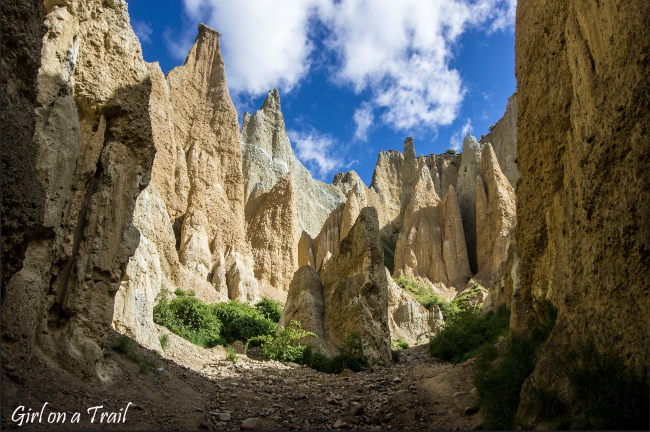
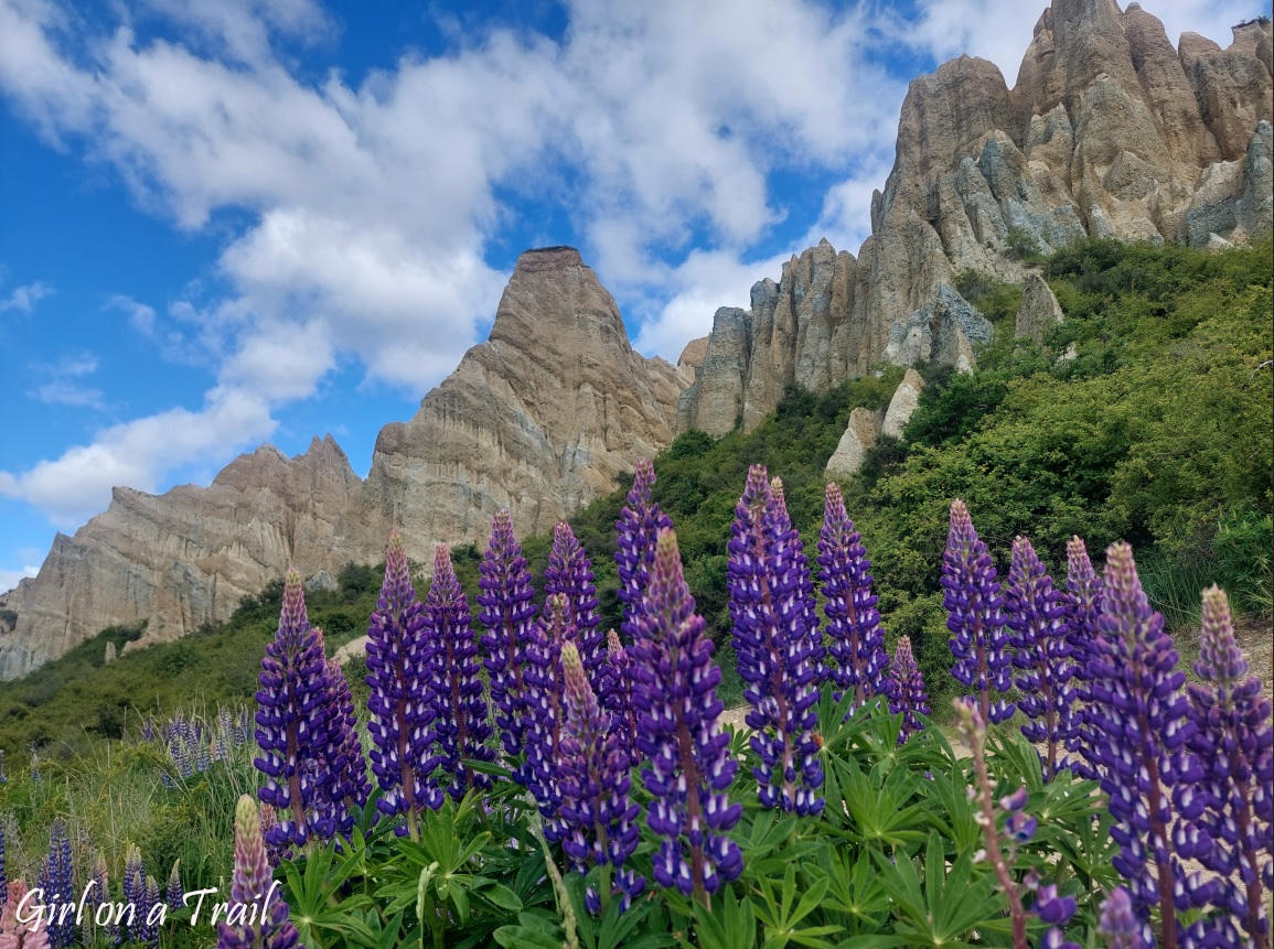
They jut out of the ground at all sorts of angles, forming something like a rocky labyrinth. These formations are the result of ancient lakes and rivers that left behind layers of gravel and silt, which were later uplifted by tectonic movements and then patiently sculpted by wind and rain. The already surreal view was further enhanced by masses of blooming lupins. Best of all, despite being genuinely spectacular, the entrance gate does an excellent job of keeping the crowds away. Frankly, I think this strategy should be rolled out in far more places.
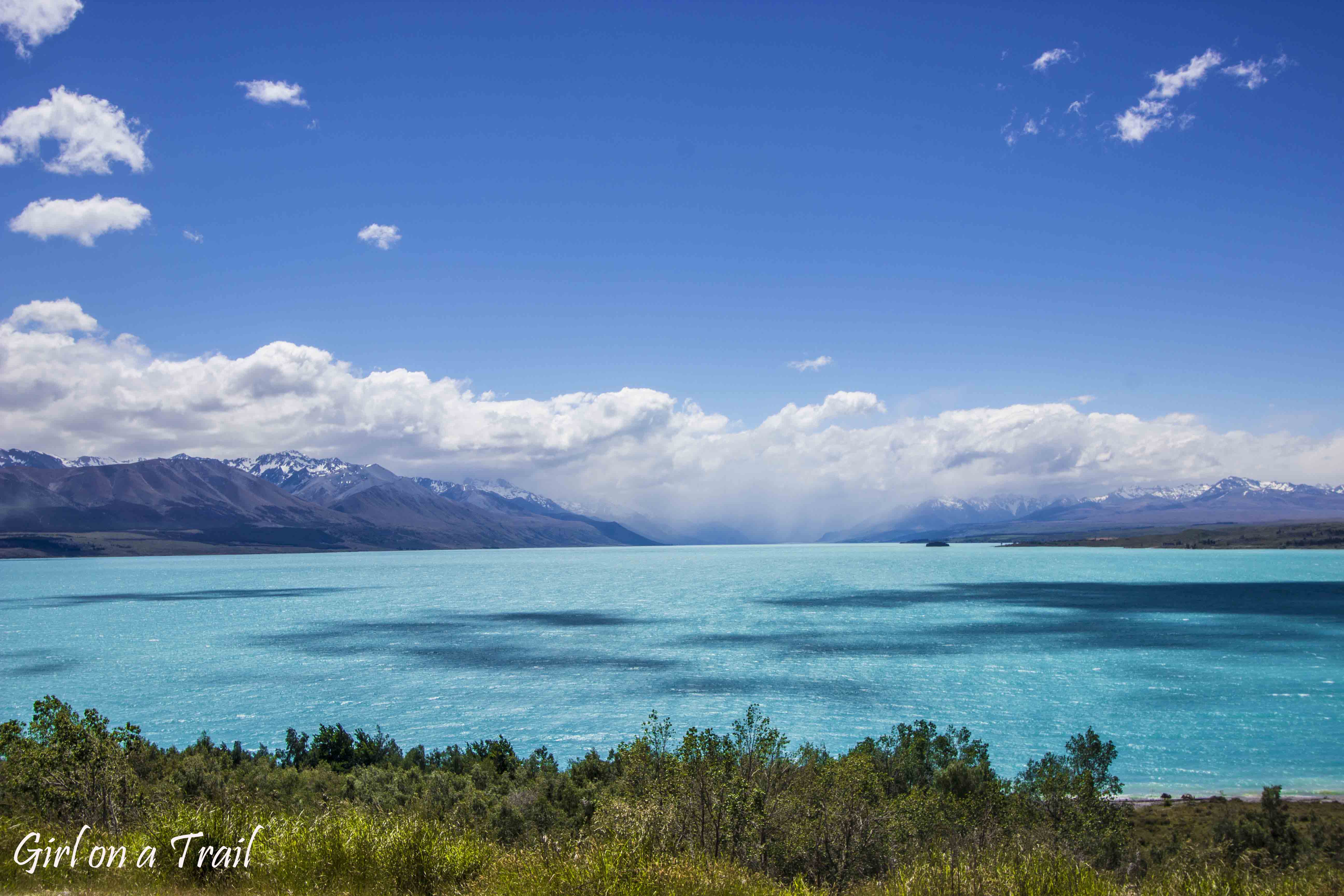
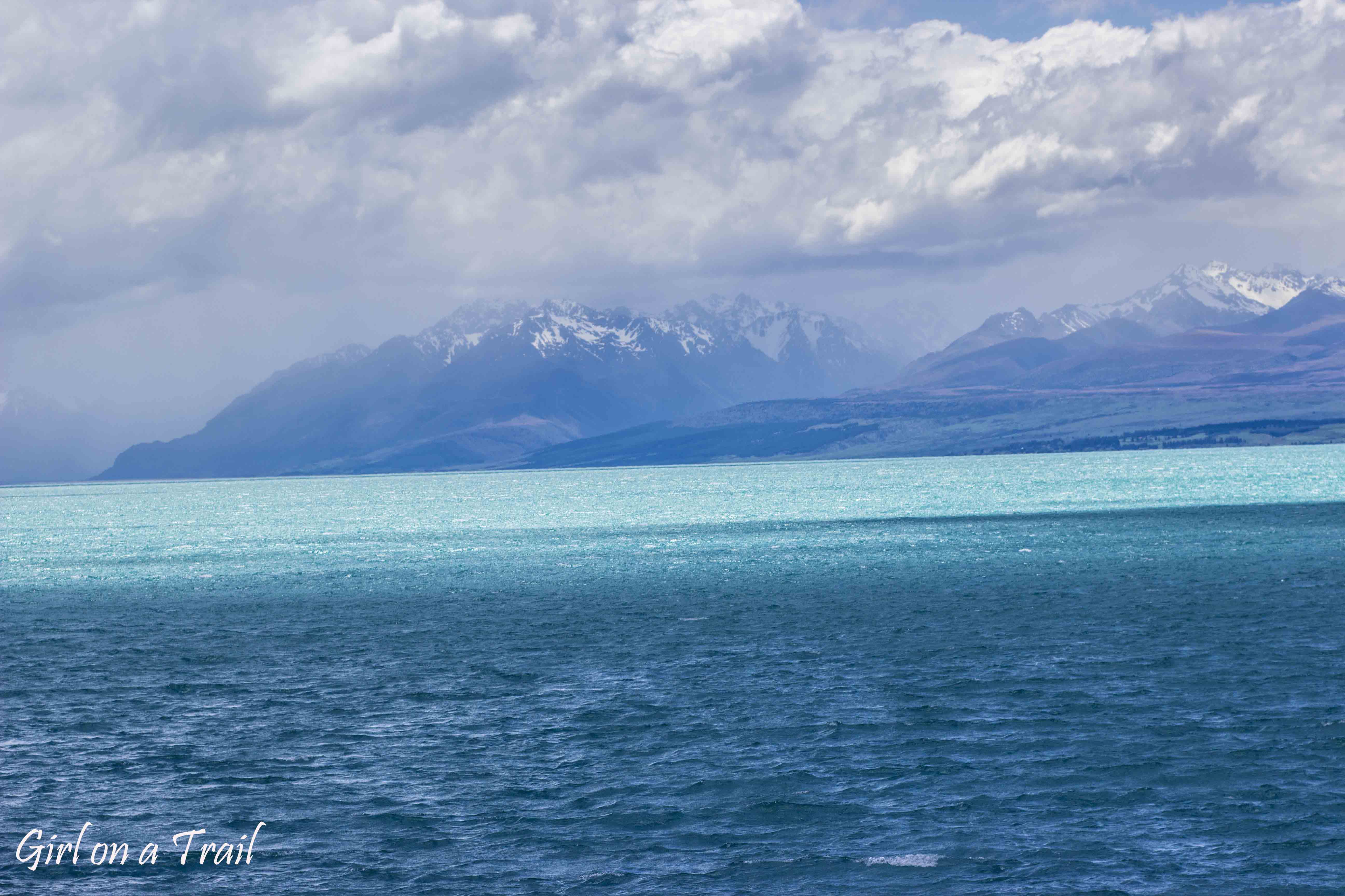
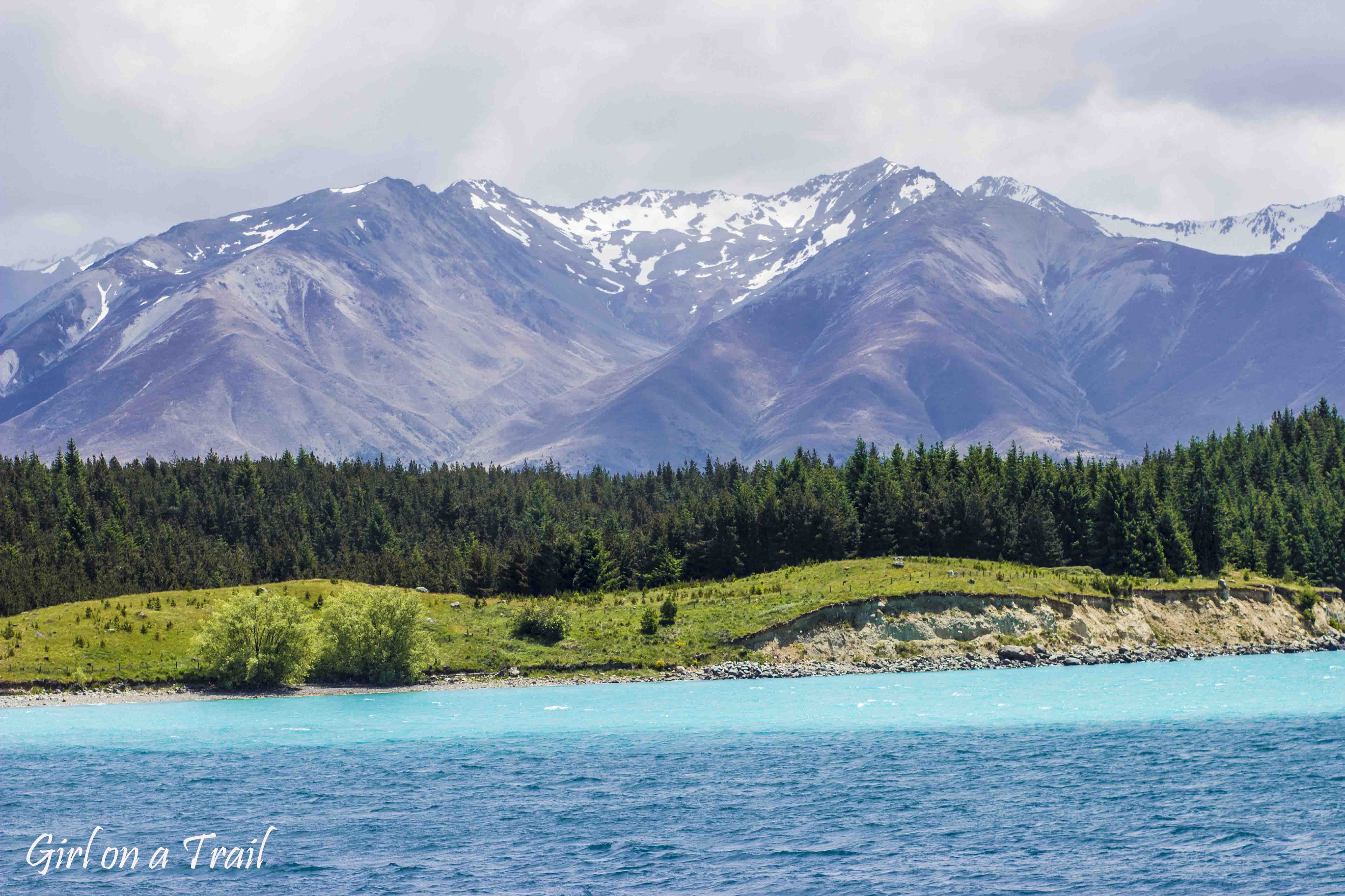
The next stop was Lake Pukaki. It looked utterly unreal—its milky turquoise colour was so intense it hardly seemed possible.
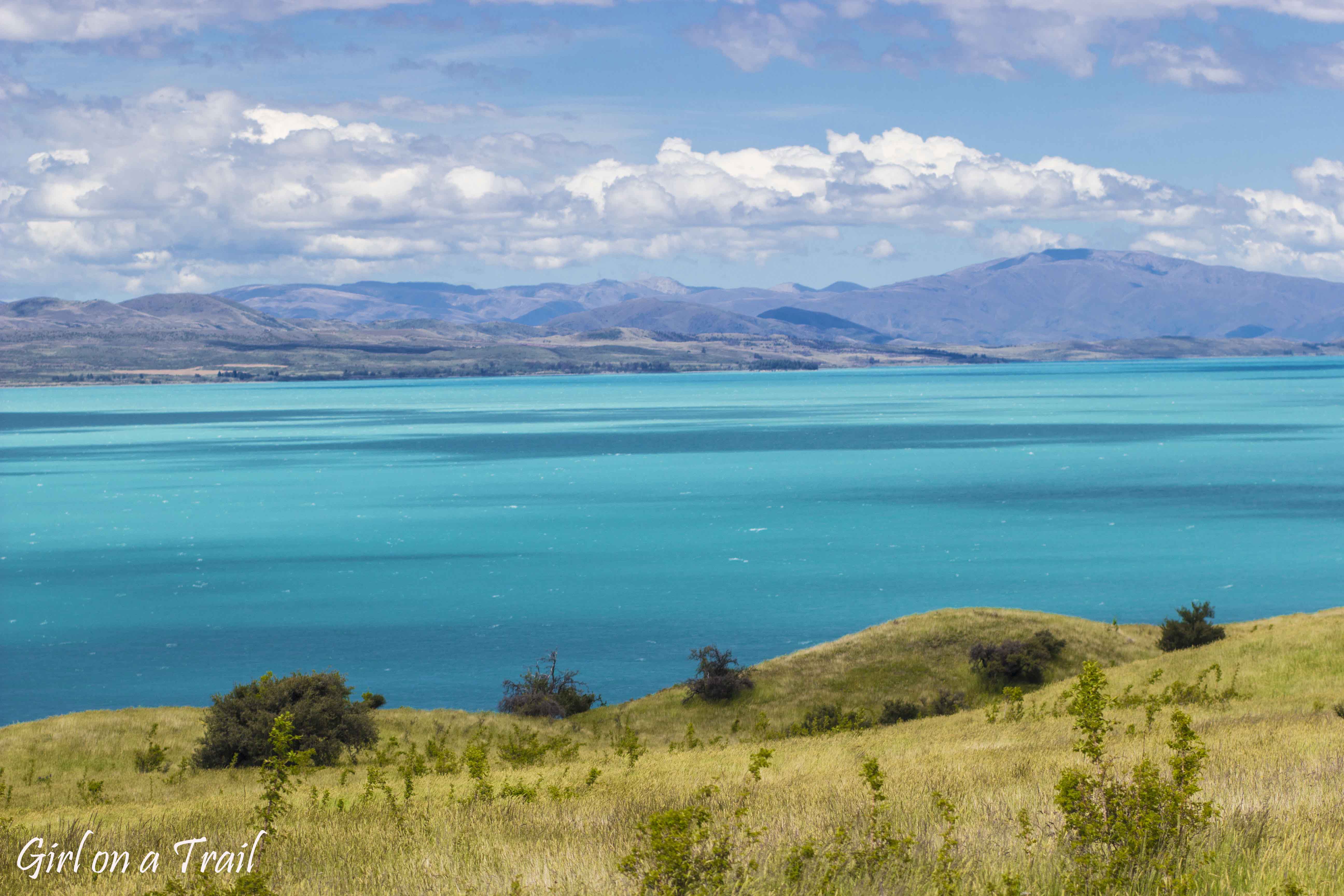
While the lake itself was otherworldly, the backdrop of Mount Cook National Park didn’t exactly fill me with optimism. Some of the peaks were already wrapped in thick clouds. With every viewpoint, things got gloomier.
By the time I arrived, it was clear I’d save a lot of time on trekking. A solid wall of rain made it impossible to see anything more than ten metres away from the car. I could forget about Hooker Valley, Kea Point, Blue Lakes, and any views of the Tasman Glacier. I hung around for a while, hoping it might brighten up at least a little, but the weather had other plans.
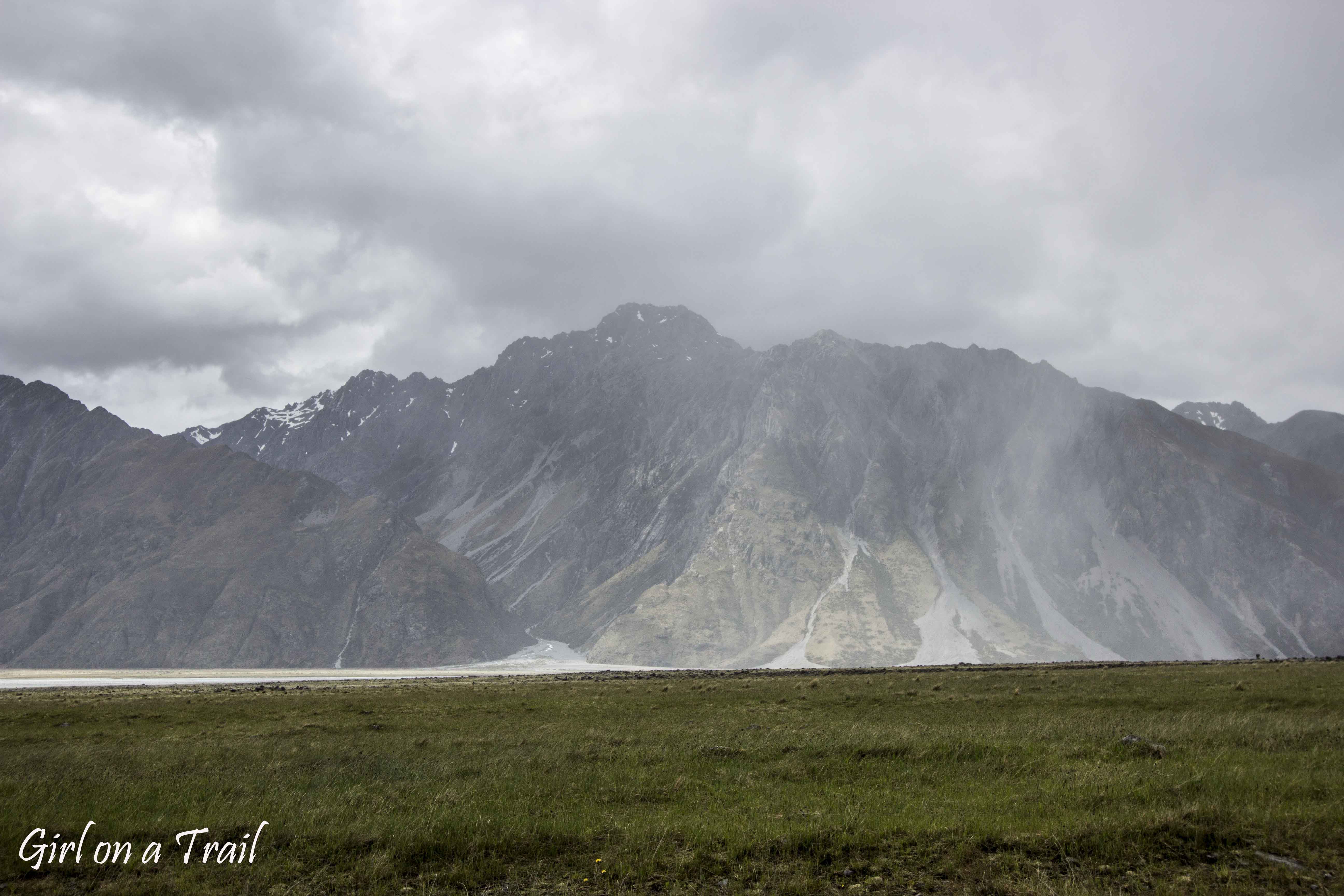
Which is a shame, because this is one of the most spectacular places in New Zealand. Most of the country’s highest peaks are here, including Aoraki, the tallest mountain in Australasia, rising to 3,724 metres. The park is also a land of glaciers, with the mighty Tasman Glacier at the forefront.
The Tasman Glacier is the largest and longest glacier in the Southern Hemisphere, stretching roughly 27 km in length and reaching up to 3 km in width in places. Unfortunately, it’s retreating at an alarming rate, and lakes that were once fed by glacial ice now survive mainly thanks to heavy rainfall. This is one of those places that may look completely different in a few decades’ time.
This time, though, I had to accept that I wouldn’t see it. So I moved on towards Lake Tekapo, rescuing my mood in the only sensible way—food. On the way, I stopped for sashimi at Mt Cook Alpine Salmon, the highest-altitude salmon farm in the world, operating in a hydroelectric canal. What can I say… beggars can’t be choosers.


You May Also Like
Hawaiian cuisine part I

Mt Taranaki in New Zealand: an intelligence test and practical info
